
Tree Plotting & Mapping From Professional Consulting Arborists

25 Years of tree care
With 25 years serving Queensland and its residents, we are experts in all local flora and fauna.

Quick response
Our team of professionals is on hand to answer any questions and can be on site within a few days.

Level 5 Arborists
At Treesafe Australia we are industry leaders in arboriculture. Fully certified and insured for your peace of mind.
Managing trees on your property involves more than simply knowing where they are. For modern Australian compliance, planning approvals and risk management, you need accurate, geospatial data presented clearly and professionally. At Treesafe Australia, our qualified consulting arborists provide detailed tree risk, plotting & mapping services that give you a precise understanding of every tree on your site.
Our experienced consulting arborists combine arboricultural expertise with advanced GPS and GIS technology to produce accurate, compliant mapping that supports surveys, development applications and long-term tree care and asset management.

What our clients say

Rated 4.9 out of 5 stars based on 118 customer reviews.


What Exactly Is Tree Plotting & Mapping?
Tree Plotting & Mapping is the process of recording the exact position, species, size, characteristics and health condition of each tree on your property. We use high-accuracy GPS/GIS programs to capture this information, and our arborist consultations ensure the data is interpreted correctly by experienced professionals.
As part of our mapping work, we document:
- Exact GPS coordinates
- Species and botanical identification
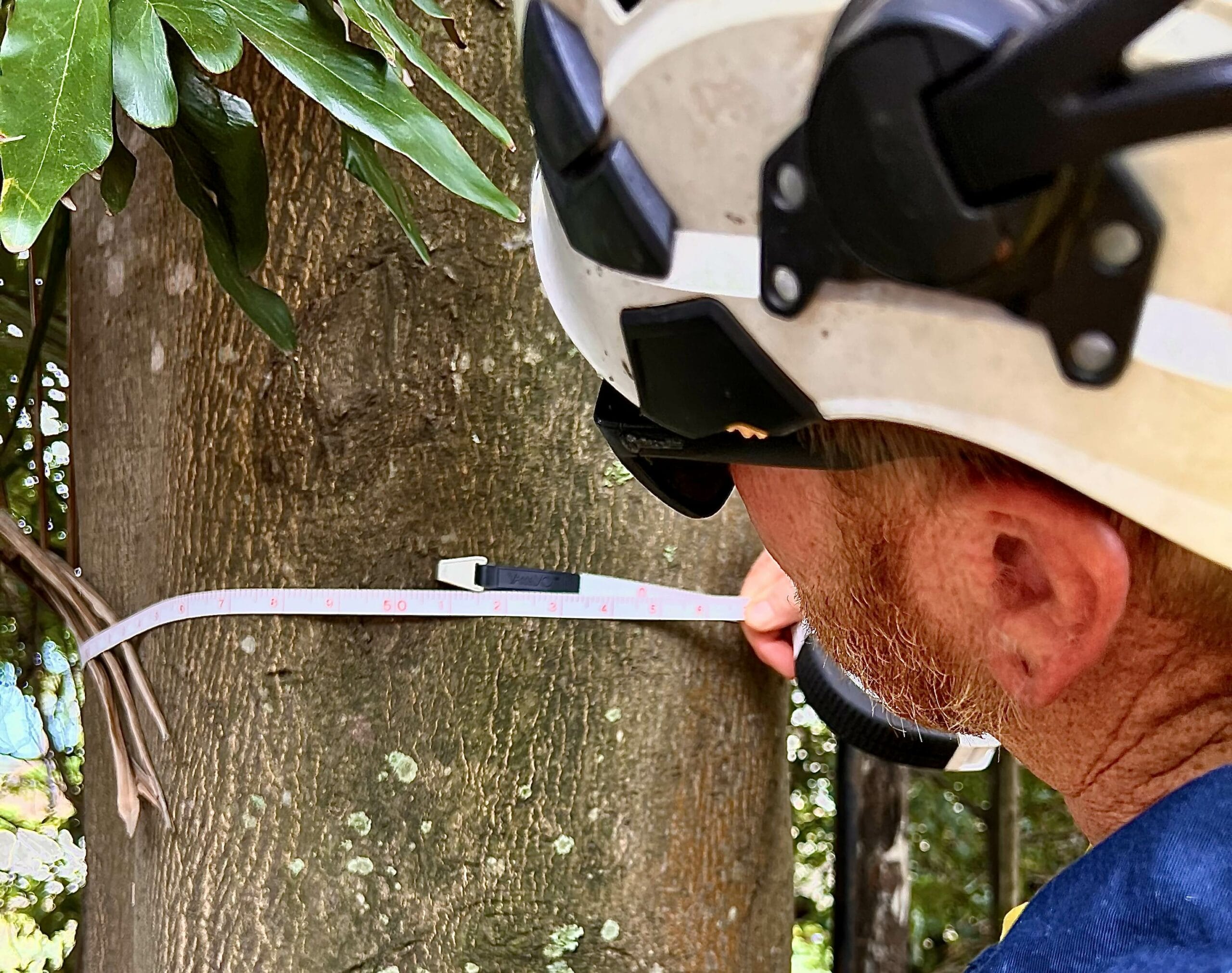
- Height, canopy spread and DBH-trunk diameter at breast height
- Health and structural condition
- Proximity to buildings and services
- Past failures and remedial works
- Potential risks
- Recommended management actions and work orders
This information is then transformed into GIS-ready layers, interactive detailed maps that can be used for risk management, planning and compliance.
Why Tree Plotting & Mapping Is Important
Risk Management and Public Safety
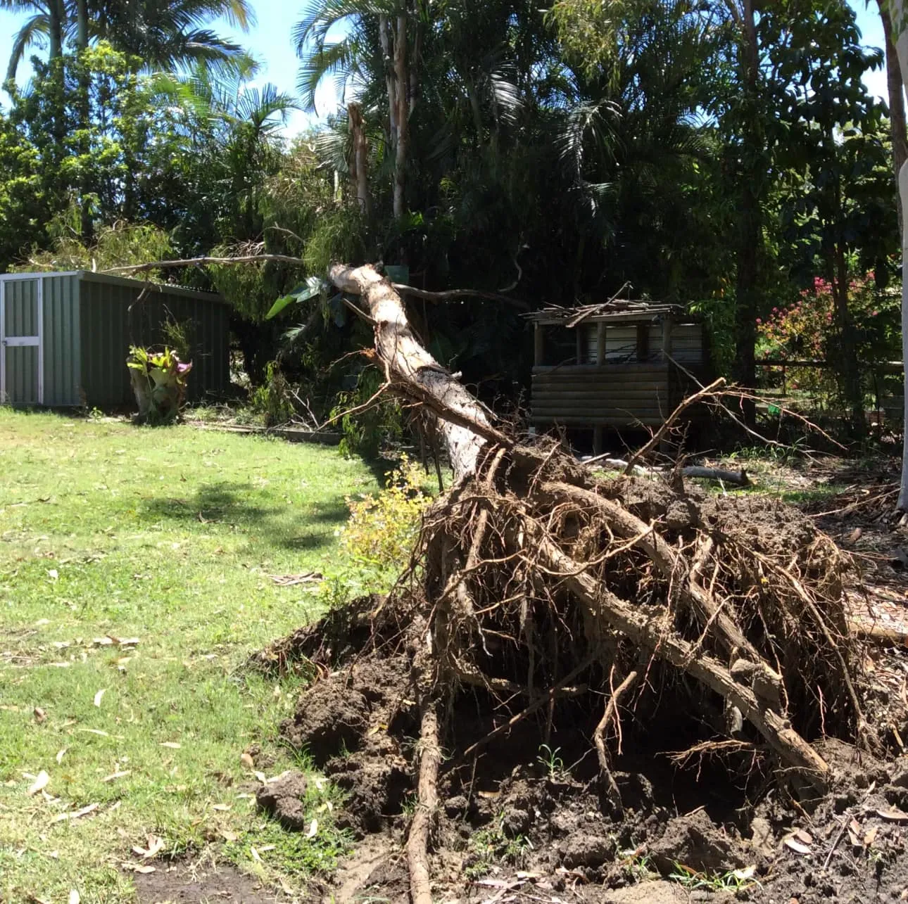
Accurate mapping helps identify potential hazards and allows you to prioritise maintenance effectively. This is essential for providing a safe environment on commercial, development sites, residential and public sites.
For risk management and compliance with GIS outputs for surveys and planning.
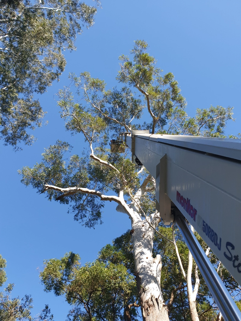
In combination with tree risk assessment, our practitioners use plotting and mapping for strategic prioritisation of what to prune first, what may need removal as well as the health and safety of the tree itself.
It is essentially a risk management tool for on site trees which are risk assets. It’s a historical record keeping program so any events that have occured are recorded and logged.
Development and Council Compliance
Many local councils require tree-location data when evaluating development applications. Our mapping helps you meet requirements for vegetation protection, environmental overlays, retention/removal decisions and construction impact assessments. Treesafe’s arborist consultations are provided by professionals with Level 5 qualifications, and are locals to the unique environment of South East Queensland.
Long-Term Asset Management
Tree maps act as a living asset register. They allow organisations such as councils, schools and commercial property managers to make informed decisions about maintenance budgets, tree-health monitoring and future planning with sustainable practices. Our skills and experience not only provide expert advice for your current tree work situation but also forecast a long-term strategy around planting and development, minimising maintenance requirements.

Better Planning Outcomes
Developers, planners, engineers and architects rely on accurate tree data to design sites effectively. Mapping helps protect root zones, minimise construction impacts and avoid delays caused by unclear tree information. As a stakeholder in any site planning and development, it’s essential to take tree management plans seriously, or you could face significant delays enforced by local councils. It’s best to engage our consulting arborists prior to any development plans being drawn.
The Plotting Process from our Consulting Arborists
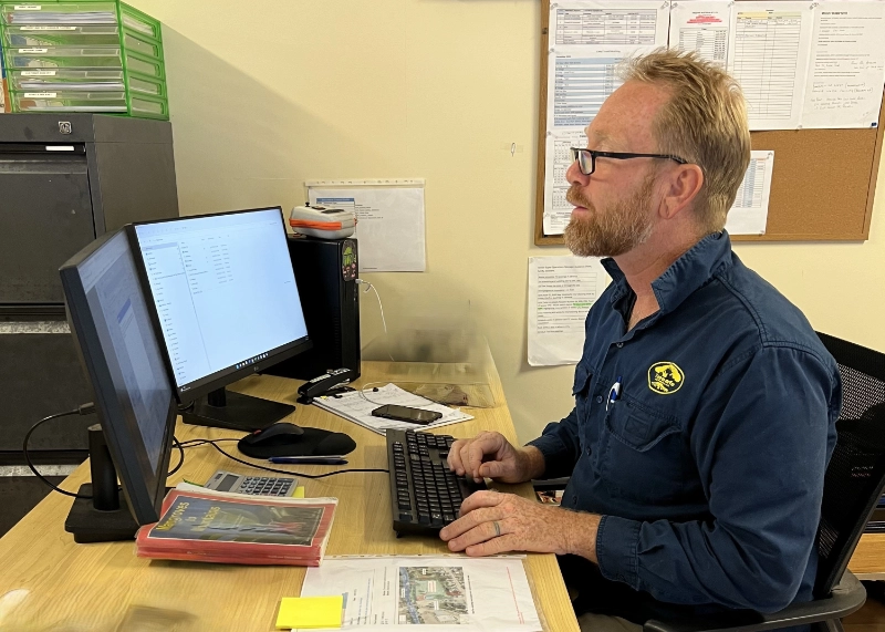
Initial Arborist Consultation
Every project starts with a site visit from a qualified consulting arborist. We discuss your goals, assess the landscape and determine the level of detail required for your mapping.
GPS/GIS Data Collection
Using professionally developed programs, we record the precise location and characteristics of each tree. This ensures the information we provide is suitable for compliance, planning and engineering purposes.


Map Production and Data Output
We prepare your mapping in whatever format you need, including:
- GIS files
- PDF tree-location maps
- Spreadsheet-based tree inventories
- Interactive digital maps for large sites
Arboricultural Reporting and Recommendations
Once mapping is complete, your consulting arborist provides a clear report detailing:
- Tree condition summaries
- Identified risks
- Recommended management actions
- Retention and removal considerations
- Maintenance schedules
- Construction impact assessments (if relevant)
Technology Our Tree Consultants Use
Our team uses modern GPS and GIS tools to ensure precision and compatibility with industry standards. This includes:
- High-accuracy GPS receivers
- GIS software
- Arboricultural assessment tools
- Digital tree-asset mapping systems
This combination ensures your data is accurate, easy to understand and ready for use in planning or compliance processes.

Where Tree Plotting & Mapping Is Used For Tree Management
- Commercial and Industrial Sites
- Mapping for shopping centres, hospitals, aged-care facilities, body corporates and business parks.
- Councils and Government Land
- Parklands, road reserves, walking paths, public facilities and vegetation-protected areas.
- Developers and Planners
- Subdivision planning, infrastructure design and formal development applications.
- Schools and Educational Facilities
- Duty-of-care reporting and proactive tree-risk management.
- Large Residential Properties
- Acreage lots, rural estates and properties with significant tree coverage.
Deliverables You Receive
Depending on your project, your package may include:
- GPS/GIS data
- Numbered tree-location maps
- Tree inventory spreadsheets
- Photos and annotations
- Condition and risk assessments
- Tree protection zone overlays
- Species identification
- Recommendations from your consulting arborist
All outputs are provided in clean, easy-to-use formats that integrate with council, engineering and planning systems.
